Datos anuales de 8 clases de cobertura y uso del suelo en Uruguay entre 1985 y 2024
The maps and statistics can be consulted by territorial units (such as countries, departments, municipalities), protected areas and water basins.

Two decades of land cover mapping in the Río de la Plata grassland region: The MapBiomas Pampa initiative
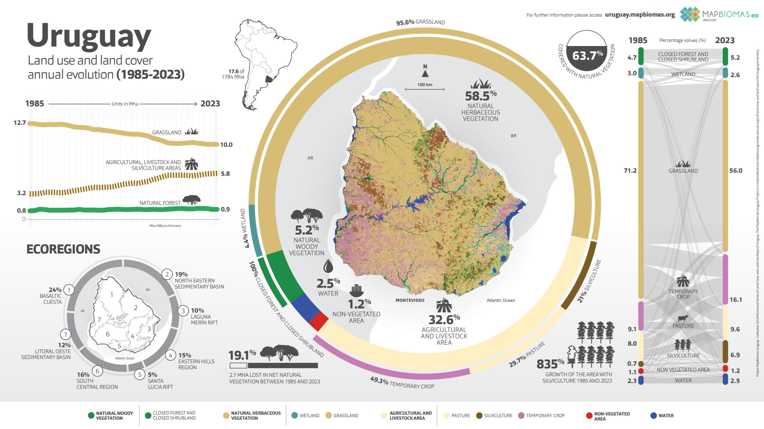
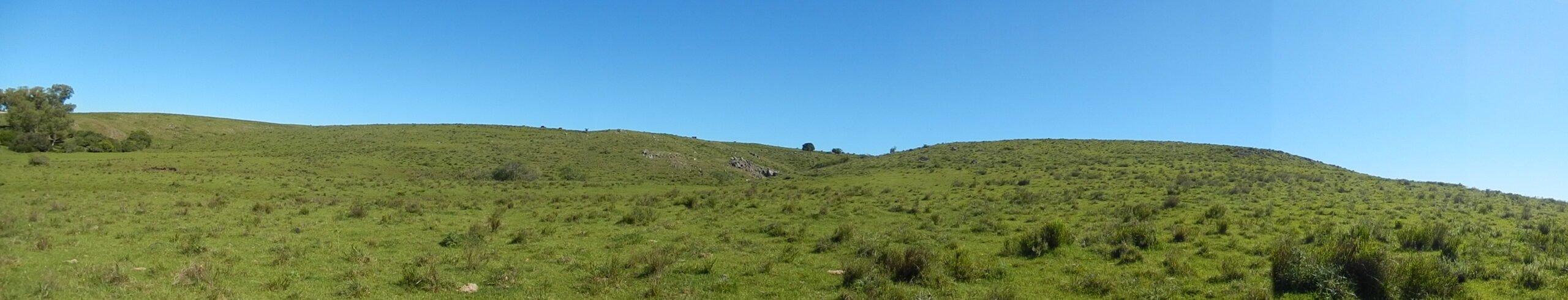
Uruguay
Conozca la metodología de MapBiomas uruguay y cómo fue organizada la red para generar los mapas y datos de cobertura y uso del suelo
Create customized maps
Join our forum
FAQ
Data download